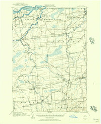
1915 Map of Moira
USGS Topo · Published 1957About this map
The St Regis Indian Reservation dominates the northern landscape of this 1915 survey, where the St Regis River and Raquette River flow toward the St Lawrence River and the United States Canada Boundary Line. This region of northern New York exhibits a dense network of early 20th-century rural infrastructure, including a proliferation of numbered schoolhouses such as School No 11 and School No 19. Industrial markers of the era are evident at the Brasher Iron Works and the Wagstaff Factory near Laverys Corner.
Find a feature on this map
69 named features on this map. Tap any name to fly to it.
Don’t see what you’re looking for? This feature index may not catch every label — zoom into the map to look around manually.
Map Details
Editions of this 1915 Moira Map
This is the sole edition of this map. No revisions or reprints were ever made.
Other maps of this area
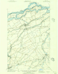
1906 · Massena
USGS Topo · 1:62,500
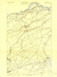
1907 · Massena
USGS Topo · 1:62,500
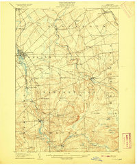
1908 · Potsdam
USGS Topo · 1:62,500
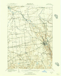
1915 · Malone
USGS Topo · 1:62,500
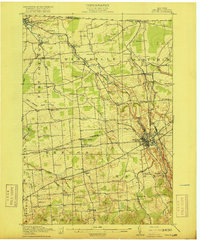
1917 · Malone
USGS Topo · 1:62,500
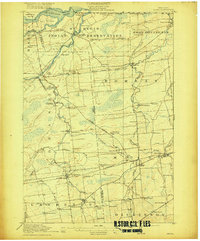
1917 · Moira
USGS Topo · 1:62,500
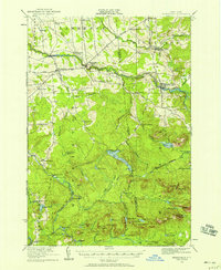
1919 · Nicholville
USGS Topo · 1:62,500
1921 · Nicholville
USGS Topo · 1:62,500
1921 · Santa Clara
USGS Topo · 1:62,500
1923 · Santa Clara
USGS Topo · 1:62,500