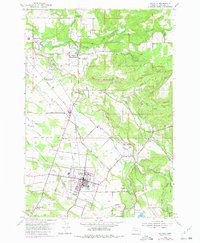
1954 Map of Molalla
USGS Topo · Published 1980About this map
The Molalla River and its numerous tributaries, including Milk Creek and Gribble Creek, define the geography of this mid-century Clackamas County landscape. Centered on the growing hub of Molalla, the map reveals a transition from agricultural valley floor to the forested rises of the east. Local history is deeply embedded in the distribution of several one-room schoolhouses such as Eby School and Meadowbrook School, alongside several sites already marked as forgotten by the 1950s, including Eldorado Sch (Aban'd) and Mt Hope Sch (Aban'd). The logging and milling economy is evident through features like the Log Pond south of the main town and the location of Union Mills. Transportation networks are anchored by the Southern Pacific railroad and the Old RR Grade, illustrating the changing modes of movement through the valley near Mulino and Liberal.
Find a feature on this map
44 named features on this map. Tap any name to fly to it.
Don’t see what you’re looking for? This feature index may not catch every label — zoom into the map to look around manually.
Map Details
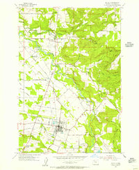
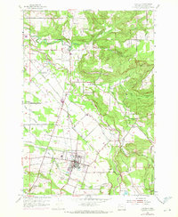
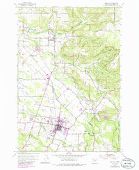
Editions of this 1954 Molalla Map
4 editions found
Other maps of this area

1911 · Boring
USGS Topo · 1:48,000

1914 · Boring
USGS Topo · 1:62,500

1914 · Oregon City
USGS Topo · 1:62,500

1916 · Estacada
USGS Topo · 1:125,000

1939 · Molalla
USGS Topo · 1:62,500

1939 · Oregon City
USGS Topo · 1:62,500

1940 · Molalla
USGS Topo · 1:62,500

1940 · Boring
USGS Topo · 1:62,500

1941 · Oregon City
USGS Topo · 1:62,500

1948 · Vancouver
USGS Topo · 1:250,000