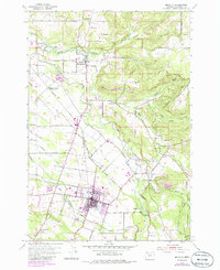
1954 Map of Molalla
USGS Topo · Published 1985About this map
Molalla serves as the industrial and civic anchor of this mid-1950s landscape, where timber operations and agricultural trade converge along the Southern Pacific rail line. The presence of a large Log Pond and the local Airport at Hutchinson Airpark highlight the post-war economic activity of Clackamas County. To the north, the Molalla River and Milk Creek wind through a territory marked by historic river-side settlements like Mulino and Union Mills. This 1954 survey, updated with 1980s data, documents the transition of rural education as several local landmarks, including Eldorado Sch and Mt Hope Sch, are noted as abandoned. The map also captures infrastructure critical to the era, from the Pipeline crossing the northern terrain to the Covered Bridge located near Shady Dell.
Find a feature on this map
46 named features on this map. Tap any name to fly to it.
Don’t see what you’re looking for? This feature index may not catch every label — zoom into the map to look around manually.
Map Details
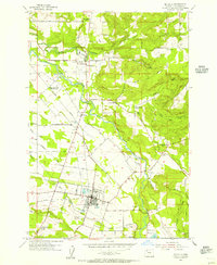
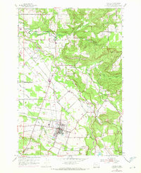
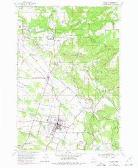
Editions of this 1954 Molalla Map
4 editions found
Other maps of this area

1911 · Boring
USGS Topo · 1:48,000

1914 · Boring
USGS Topo · 1:62,500

1914 · Oregon City
USGS Topo · 1:62,500

1916 · Estacada
USGS Topo · 1:125,000

1939 · Molalla
USGS Topo · 1:62,500

1939 · Oregon City
USGS Topo · 1:62,500

1940 · Molalla
USGS Topo · 1:62,500

1940 · Boring
USGS Topo · 1:62,500

1941 · Oregon City
USGS Topo · 1:62,500

1948 · Vancouver
USGS Topo · 1:250,000