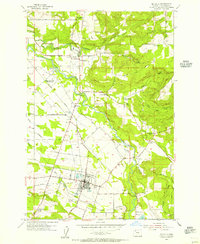
1954 Map of Molalla
USGS Topo · Published 1956About this map
The Molalla River and its major tributaries, including Milk Creek and Pudding River, define the landscape of this mid-century Clackamas County survey. The town of Molalla serves as the primary hub, surrounded by smaller communities such as Mulino, Liberal, and Union Mills. The timber and agricultural economy is evident through the numerous log ponds and the path of the Southern Pacific railroad.
Find a feature on this map
45 named features on this map. Tap any name to fly to it.
Don’t see what you’re looking for? This feature index may not catch every label — zoom into the map to look around manually.
Map Details
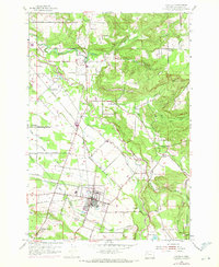
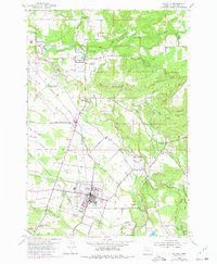
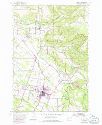
Editions of this 1954 Molalla Map
4 editions found
Other maps of this area

1911 · Boring
USGS Topo · 1:48,000

1914 · Boring
USGS Topo · 1:62,500

1914 · Oregon City
USGS Topo · 1:62,500

1916 · Estacada
USGS Topo · 1:125,000

1939 · Molalla
USGS Topo · 1:62,500

1939 · Oregon City
USGS Topo · 1:62,500

1940 · Molalla
USGS Topo · 1:62,500

1940 · Boring
USGS Topo · 1:62,500

1941 · Oregon City
USGS Topo · 1:62,500

1948 · Vancouver
USGS Topo · 1:250,000