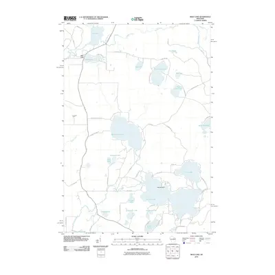
2010 Map of Mole Lake
USGS Topo · Published 2010About this map
Mole Lake serves as a central hub in this lake-rich landscape of Forest County, Wisconsin. The settlement is positioned near Rice Lake and the winding course of Swamp Creek, a region defined by its complex network of glacial water bodies and seasonal wetlands. The 2010 geography reveals a mix of recreational and residential development concentrated around the shorelines of Rolling Stone Lake, Crane Lake, and Pickerel Lake. To the west, the K Lookout Tower stands as a prominent landmark on the high ground overlooking the drainage of Spider Creek.
Find a feature on this map
56 named features on this map. Tap any name to fly to it.
Don’t see what you’re looking for? This feature index may not catch every label — zoom into the map to look around manually.
Map Details
Editions of this 2010 Mole Lake Map
This is the sole edition of this map. No revisions or reprints were ever made.
Other maps of this area

1939 · Crandon
USGS Topo · 1:48,000

1940 · Monico
USGS Topo · 1:48,000

1941 · Crandon
USGS Topo · 1:48,000

1942 · Elcho
USGS Topo · 1:48,000

1942 · Pearson
USGS Topo · 1:48,000

1947 · Crandon
USGS Topo · 1:48,000

1950 · Monico
USGS Topo · 1:48,000

1950 · Elcho
USGS Topo · 1:48,000

1950 · Lily
USGS Topo · 1:48,000

1954 · Iron Mountain
USGS Topo · 1:250,000