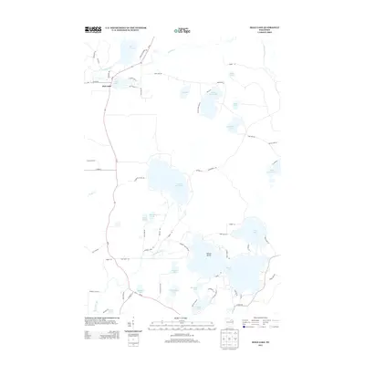
2013 Map of Mole Lake
USGS Topo · Published 2013About this map
Mole Lake serves as the focal point of this northern Wisconsin landscape, situated at the junction of Co Hwy-M and Wi-55. The settlement is defined by its relationship to the surrounding water, with Rice Lake and Swamp Creek framing the northern reaches of the Sokaogon Chippewa Community lands. Local history is etched into the road names, from Indian Settlement Rd to family-linked paths like Pat Phalen Ln and Black Joe Rd.
Find a feature on this map
71 named features on this map. Tap any name to fly to it.
Don’t see what you’re looking for? This feature index may not catch every label — zoom into the map to look around manually.
Map Details
Editions of this 2013 Mole Lake Map
This is the sole edition of this map. No revisions or reprints were ever made.
Other maps of this area

1939 · Crandon
USGS Topo · 1:48,000

1940 · Monico
USGS Topo · 1:48,000

1941 · Crandon
USGS Topo · 1:48,000

1942 · Elcho
USGS Topo · 1:48,000

1942 · Pearson
USGS Topo · 1:48,000

1947 · Crandon
USGS Topo · 1:48,000

1950 · Monico
USGS Topo · 1:48,000

1950 · Elcho
USGS Topo · 1:48,000

1950 · Lily
USGS Topo · 1:48,000

1954 · Iron Mountain
USGS Topo · 1:250,000