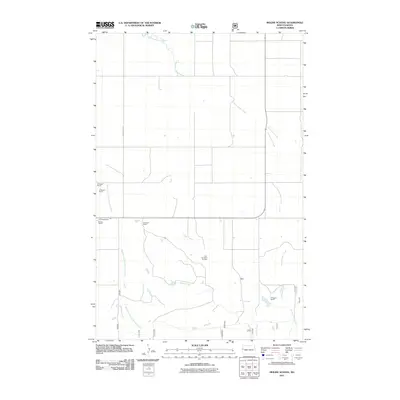
2011 Map of Moline School
USGS Topo · Published 2011About this map
Charbonneau Creek and its tributaries carve a distinct drainage pattern through this section of McKenzie County, defining the agricultural and industrial character of the modern landscape. The area is characterized by large-scale ranching operations, with several family-named holdings such as the F Haugen Ranch, P Nygard Ranch, and M Cross Ranch situated across the territory. This 2011 survey captures the coexistence of traditional land use and energy development, most notably marked by the Box Car Butte Oil Field located south of the creek’s main stem. Transportation is anchored by County Rd 15, which provides access through the undulating terrain near Spring Creek. The map serves as a detailed record of western North Dakota's rural infrastructure, illustrating how water sources like the West Branch Charbonneau Creek remain central to the positioning of regional ranching estates.
Find a feature on this map
11 named features on this map. Tap any name to fly to it.
Don’t see what you’re looking for? This feature index may not catch every label — zoom into the map to look around manually.
Map Details
Editions of this 2011 Moline School Map
This is the sole edition of this map. No revisions or reprints were ever made.
Other maps of this area

1953 · Watford City
USGS Topo · 1:250,000

1957 · Watford City
USGS Topo · 1:250,000

1967 · Watford City
USGS Topo · 1:250,000

1972 · Bear Butte
USGS Topo · 1:24,000

1972 · Alexander
USGS Topo · 1:24,000

1972 · Moline School
USGS Topo · 1:24,000

1972 · Rawson
USGS Topo · 1:24,000

1972 · Charbonneau
USGS Topo · 1:24,000

1972 · Sheep Creek
USGS Topo · 1:24,000

1972 · Sather Lake
USGS Topo · 1:24,000