
1972 Map of Alexander
USGS Topo · Published 1975About this map
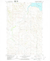
Alexander serves as the focal point of this rural McKenzie County landscape during the early 1970s, situated at the intersection of the Burlington Northern railroad and regional highways. The town site is notably home to the Lewis and Clark Trail Museum and an Athletic Field, reflecting its role as a community hub for the surrounding ranching and farming sections. The terrain is defined by prominent topographical landmarks like Ragged Butte, Foreman Butte, and the simply named A Butte, which rise above the drainages of Lonesome Creek and Antelope Creek.
Find a feature on this map
21 named features on this map. Tap any name to fly to it.
Don’t see what you’re looking for? This feature index may not catch every label — zoom into the map to look around manually.
Map Details
Editions of this 1972 Alexander Map
This is the sole edition of this map. No revisions or reprints were ever made.
Other maps of this area

1953 · Watford City
USGS Topo · 1:250,000

1957 · Watford City
USGS Topo · 1:250,000

1967 · Watford City
USGS Topo · 1:250,000

1969 · Cartwright NE
USGS Topo · 1:24,000

1972 · Bear Butte
USGS Topo · 1:24,000

1972 · Moline School
USGS Topo · 1:24,000

1972 · Rawson
USGS Topo · 1:24,000

1972 · Charbonneau
USGS Topo · 1:24,000

1972 · Sather Lake
USGS Topo · 1:24,000
1978 · Camp Creek East
USGS Topo · 1:24,000