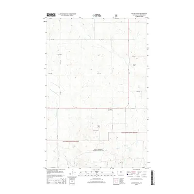
2014 Map of Moline School
USGS Topo · Published 2014About this map
Little Missouri National Grassland dominates the southern landscape of this McKenzie County quadrangle, where the rolling plains meet the drainage systems of the Missouri River plateau. The namesake Moline School stands as a point of reference along 147th Ave NW, representing the rural educational centers that once served this sparsely populated ranching and farming region. The terrain is defined by its watercourses, including Charbonneau Cr and its W Branch Charbonneau Cr, which have carved subtle valleys into the high prairie.
Find a feature on this map
20 named features on this map. Tap any name to fly to it.
Don’t see what you’re looking for? This feature index may not catch every label — zoom into the map to look around manually.
Map Details
Editions of this 2014 Moline School Map
This is the sole edition of this map. No revisions or reprints were ever made.
Other maps of this area

1953 · Watford City
USGS Topo · 1:250,000

1957 · Watford City
USGS Topo · 1:250,000

1967 · Watford City
USGS Topo · 1:250,000

1972 · Bear Butte
USGS Topo · 1:24,000

1972 · Alexander
USGS Topo · 1:24,000

1972 · Moline School
USGS Topo · 1:24,000

1972 · Rawson
USGS Topo · 1:24,000

1972 · Charbonneau
USGS Topo · 1:24,000

1972 · Sheep Creek
USGS Topo · 1:24,000

1972 · Sather Lake
USGS Topo · 1:24,000