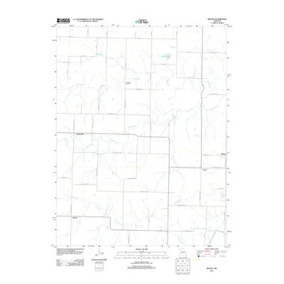
2012 Map of Molino
USGS Topo · Published 2012About this map
Youngs Creek and its many tributaries, including Fivemile Creek and Long Branch, define the rural landscape of this section of Audrain County. The map documents the scattered rural settlements and agricultural infrastructure of the early 2000s, centered around small communities like Molino and Hollensville. Significant for local historians, the sheet identifies established burial grounds such as New Hope Cemetery and Mount Zion Cemetery, which serve as anchor points for the surrounding farmsteads. To the south, the terrain descends toward the Fish Branch drainage and the South Fork Salt River, while Kendrick Lake and the Everet landmark provide specific points of reference in the northern reaches. The area is intersected by a grid of county roads and Audrain Road routes, reflecting a late-century pattern of land division and residency that connects Skinner to the broader regional network.
Find a feature on this map
50 named features on this map. Tap any name to fly to it.
Don’t see what you’re looking for? This feature index may not catch every label — zoom into the map to look around manually.
Map Details
Editions of this 2012 Molino Map
This is the sole edition of this map. No revisions or reprints were ever made.
Other maps of this area

1890 · Mexico
USGS Topo · 1:125,000

1890 · Moberly
USGS Topo · 1:125,000

1932 · Mexico
USGS Topo · 1:62,500

1945 · Florida
USGS Topo · 1:62,500

1945 · Centralia
USGS Topo · 1:62,500

1948 · Quincy
USGS Topo · 1:250,000

1953 · Moberly
USGS Topo · 1:250,000

1954 · Moberly
USGS Topo · 1:250,000

1956 · Quincy
USGS Topo · 1:250,000

1957 · Moberly
USGS Topo · 1:250,000