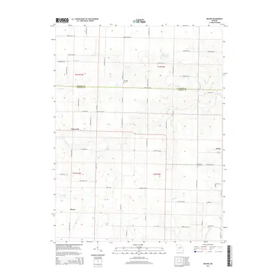
2014 Map of Molino
USGS Topo · Published 2014About this map
Molino and the surrounding agricultural lands of the northern Missouri prairies are defined by a network of drainage creeks and small rural settlements. This landscape, situated along the border of Monroe Co and Audrain Co, is shaped by the headwaters of the South Fork Salt River and several of its tributaries, including Fivemile Cr and Youngs Cr. The map details a transition from the rolling uplands down into these narrow creek valleys, where small farm roads like Audrain Road 368 and Monroe Road 700 connect isolated homesteads and local communities.
Find a feature on this map
59 named features on this map. Tap any name to fly to it.
Don’t see what you’re looking for? This feature index may not catch every label — zoom into the map to look around manually.
Map Details
Editions of this 2014 Molino Map
This is the sole edition of this map. No revisions or reprints were ever made.
Other maps of this area

1890 · Mexico
USGS Topo · 1:125,000

1890 · Moberly
USGS Topo · 1:125,000

1932 · Mexico
USGS Topo · 1:62,500

1945 · Florida
USGS Topo · 1:62,500

1945 · Centralia
USGS Topo · 1:62,500

1948 · Quincy
USGS Topo · 1:250,000

1953 · Moberly
USGS Topo · 1:250,000

1954 · Moberly
USGS Topo · 1:250,000

1956 · Quincy
USGS Topo · 1:250,000

1957 · Moberly
USGS Topo · 1:250,000