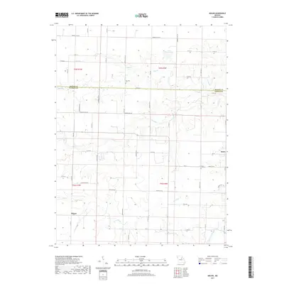
2017 Map of Molino
USGS Topo · Published 2017About this map
The boundary between Monroe and Audrain counties divides this rural landscape, where agriculture and hydrology define the local character. The small settlement of Molino sits along Hwy ZZ in the eastern portion of the map, while Skinner marks a point of interest further south. These crossroads communities are anchored by local heritage sites, including the New Hope Cem and Mount Zion Cem, which provide significant value for genealogists tracing family histories in the region.
Find a feature on this map
55 named features on this map. Tap any name to fly to it.
Don’t see what you’re looking for? This feature index may not catch every label — zoom into the map to look around manually.
Map Details
Editions of this 2017 Molino Map
This is the sole edition of this map. No revisions or reprints were ever made.
Other maps of this area

1890 · Mexico
USGS Topo · 1:125,000

1890 · Moberly
USGS Topo · 1:125,000

1932 · Mexico
USGS Topo · 1:62,500

1945 · Florida
USGS Topo · 1:62,500

1945 · Centralia
USGS Topo · 1:62,500

1948 · Quincy
USGS Topo · 1:250,000

1953 · Moberly
USGS Topo · 1:250,000

1954 · Moberly
USGS Topo · 1:250,000

1956 · Quincy
USGS Topo · 1:250,000

1957 · Moberly
USGS Topo · 1:250,000