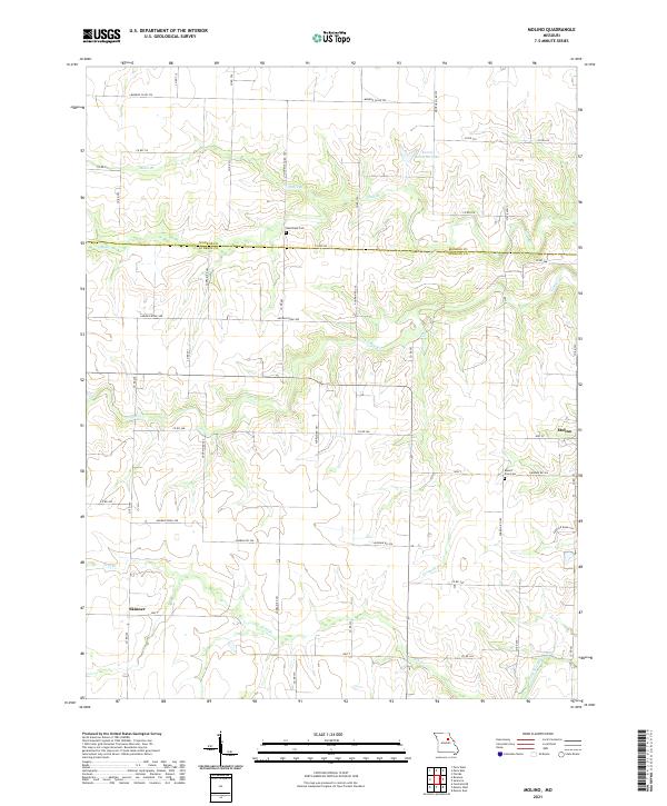
2021 Map of Molino
USGS Topo · Published 2021About this map
Molino and the small settlement of Skinner anchor this rural landscape along the boundary of Monroe and Audrain counties. The terrain is defined by the branching drainage of the South Fork Salt River, where tributaries like Youngs Creek, Fivemile Creek, and Fish Branch carve through the agricultural uplands. This 2021 survey shows a stable pattern of rural land use, dominated by a grid of county roads such as Audrain Road 380 and State Highway Z. Local history is preserved in sites like New Hope Cemetery and Mount Zion Cemetery, while Everet Kendrick Lake serves as a notable landmark in the northern reaches of the quadrangle. The map reflects the enduring character of Missouri's northern prairies, where small communities remain connected by a dense network of farm-to-market roads and seasonal watercourses.
Find a feature on this map
51 named features on this map. Tap any name to fly to it.
Don’t see what you’re looking for? This feature index may not catch every label — zoom into the map to look around manually.
Map Details
Editions of this 2021 Molino Map
This is the sole edition of this map. No revisions or reprints were ever made.
Other maps of this area

1890 · Mexico
USGS Topo · 1:125,000

1890 · Moberly
USGS Topo · 1:125,000

1932 · Mexico
USGS Topo · 1:62,500

1945 · Florida
USGS Topo · 1:62,500

1945 · Centralia
USGS Topo · 1:62,500

1948 · Quincy
USGS Topo · 1:250,000

1953 · Moberly
USGS Topo · 1:250,000

1954 · Moberly
USGS Topo · 1:250,000

1956 · Quincy
USGS Topo · 1:250,000

1957 · Moberly
USGS Topo · 1:250,000