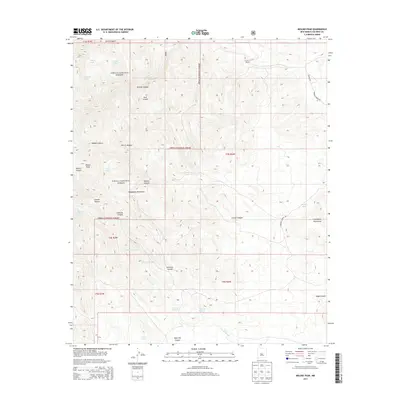
2013 Map of Molino Peak
USGS Topo · Published 2013About this map
The Magdalena Mountains and Chupadera Mountains dominate this high-desert landscape in central New Mexico. Much of the terrain is protected within the Cibola National Forest, where steep drainages like Molino Canyon and Chavez Canyon reveal a complex topography. Human presence is sparse, marked by isolated outposts such as Gianero Ranch and the site at Rincon Madera.
Find a feature on this map
33 named features on this map. Tap any name to fly to it.
Don’t see what you’re looking for? This feature index may not catch every label — zoom into the map to look around manually.
Map Details
Editions of this 2013 Molino Peak Map
This is the sole edition of this map. No revisions or reprints were ever made.
Other maps of this area

1906 · Socorro
USGS Topo · 1:62,500

1916 · La Joya
USGS Topo · 1:125,000

1948 · San Antonio
USGS Topo · 1:62,500

1954 · Tularosa
USGS Topo · 1:250,000

1954 · Socorro
USGS Topo · 1:250,000

1958 · Socorro
USGS Topo · 1:250,000

1958 · Tularosa
USGS Topo · 1:250,000

1959 · Socorro
USGS Topo · 1:24,000

1959 · Magdalena
USGS Topo · 1:62,500

1959 · Socorro
USGS Topo · 1:62,500