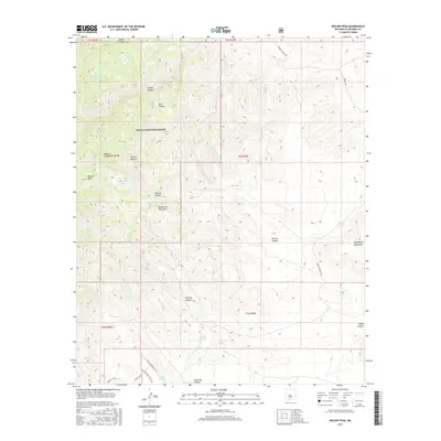
2017 Map of Molino Peak
USGS Topo · Published 2017About this map
Magdalena Mountains and the Chupadera Mountains dominate this high-desert terrain within the Cibola National Forest. The landscape is defined by deep drainages and canyons, including Sixmile Canyon, Madera Canyon, and Chavez Canyon, which channel seasonal water across the arid basins. Human presence is sparse and concentrated around isolated points of water and ranching activity, such as Rincon Madera and Cienega Ranch.
Find a feature on this map
37 named features on this map. Tap any name to fly to it.
Don’t see what you’re looking for? This feature index may not catch every label — zoom into the map to look around manually.
Map Details
Editions of this 2017 Molino Peak Map
This is the sole edition of this map. No revisions or reprints were ever made.
Other maps of this area

1906 · Socorro
USGS Topo · 1:62,500

1916 · La Joya
USGS Topo · 1:125,000

1948 · San Antonio
USGS Topo · 1:62,500

1954 · Tularosa
USGS Topo · 1:250,000

1954 · Socorro
USGS Topo · 1:250,000

1958 · Socorro
USGS Topo · 1:250,000

1958 · Tularosa
USGS Topo · 1:250,000

1959 · Socorro
USGS Topo · 1:24,000

1959 · Magdalena
USGS Topo · 1:62,500

1959 · Socorro
USGS Topo · 1:62,500