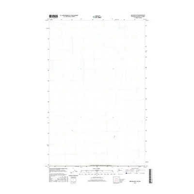
2017 Map of Molson OE N
USGS Topo · Published 2017About this map
The Canada/United States of America border defines the southern edge of this topographic survey, marking the thin line between the Washington backcountry and British Columbia. This high-altitude terrain is characterized by a dense network of seasonal creek beds and drainage channels that carve through the landscape, feeding into larger basins just outside the sheet's boundaries. The map provides a precise look at the 2017 drainage patterns and land contours near the international boundary, an area where the topography dictates the flow of local hydrology and the placement of remote access routes along the border corridor.
Find a feature on this map
1 named feature on this map. Tap any name to fly to it.
Don’t see what you’re looking for? This feature index may not catch every label — zoom into the map to look around manually.
Map Details
Editions of this 2017 Molson OE N Map
This is the sole edition of this map. No revisions or reprints were ever made.
Other maps of this area

1902 · Osoyoos
USGS Topo · 1:125,000

1904 · Osoyoos
USGS Topo · 1:125,000

1954 · Okanogan
USGS Topo · 1:250,000

1957 · Mt. Bonaparte
USGS Topo · 1:62,500

1957 · Oroville
USGS Topo · 1:62,500

1958 · Okanogan
USGS Topo · 1:250,000

1981 · Mount Hull
USGS Topo · 1:24,000

1984 · Oroville
USGS Topo · 1:100,000
1988 · Chesaw
USGS Topo · 1:24,000
1988 · Molson
USGS Topo · 1:24,000