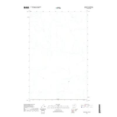
2020 Map of Molson OE N
USGS Topo · Published 2020About this map
The international border with Canada forms the southern boundary of this high-latitude survey, marking the transition from Okanogan County, Washington, into the southern interior of British Columbia. The landscape is defined by its drainage patterns, where numerous small creeks and intermittent streams carve through the terrain. While the sheet is sparse in terms of modern infrastructure or named settlements, it provides a precise look at the hydrography of this border region. The mapping focuses on the headwaters and drainages that flow across the frontier, illustrating the natural connectivity of the landscape despite the geopolitical line of Canada at the map's base.
Find a feature on this map
1 named feature on this map. Tap any name to fly to it.
Don’t see what you’re looking for? This feature index may not catch every label — zoom into the map to look around manually.
Map Details
Editions of this 2020 Molson OE N Map
This is the sole edition of this map. No revisions or reprints were ever made.
Other maps of this area

1902 · Osoyoos
USGS Topo · 1:125,000

1904 · Osoyoos
USGS Topo · 1:125,000

1954 · Okanogan
USGS Topo · 1:250,000

1957 · Mt. Bonaparte
USGS Topo · 1:62,500

1957 · Oroville
USGS Topo · 1:62,500

1958 · Okanogan
USGS Topo · 1:250,000

1981 · Mount Hull
USGS Topo · 1:24,000

1984 · Oroville
USGS Topo · 1:100,000
1988 · Chesaw
USGS Topo · 1:24,000
1988 · Molson
USGS Topo · 1:24,000