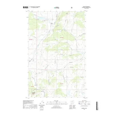
2020 Map of Molson
USGS Topo · Published 2020About this map
Molson and the southern edge of the Canadian border define the high-plateau character of this northern Okanogan County landscape. Located near the summit of Molson Hill, the town site is surrounded by a network of small alpine lakes including Sidley Lake, Molson Lake, and Lindberg Lake. The terrain is deeply varied, transitioning from the open basins of Mud Lake Valley to the prominent heights of Hee Hee Mtn and the unique landmark of Hee Hee Stone.
Find a feature on this map
70 named features on this map. Tap any name to fly to it.
Don’t see what you’re looking for? This feature index may not catch every label — zoom into the map to look around manually.
Map Details
Editions of this 2020 Molson Map
This is the sole edition of this map. No revisions or reprints were ever made.
Other maps of this area

1902 · Osoyoos
USGS Topo · 1:125,000

1904 · Osoyoos
USGS Topo · 1:125,000

1954 · Okanogan
USGS Topo · 1:250,000

1957 · Mt. Bonaparte
USGS Topo · 1:62,500

1957 · Oroville
USGS Topo · 1:62,500

1958 · Okanogan
USGS Topo · 1:250,000
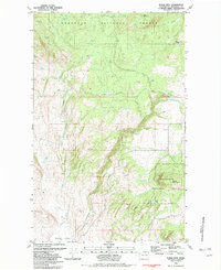
1981 · Burge Mtn
USGS Topo · 1:24,000

1981 · Mount Hull
USGS Topo · 1:24,000

1984 · Oroville
USGS Topo · 1:100,000
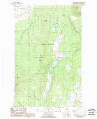
1988 · Mt Bonaparte
USGS Topo · 1:24,000