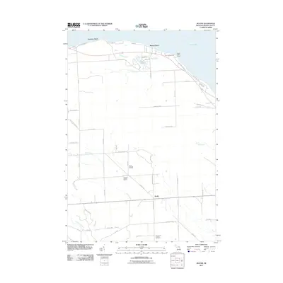
2011 Map of Moltke
USGS Topo · Published 2011About this map
Lake Huron frontage and the quiet rural roads of Presque Isle County define this northern Michigan landscape. Along the shoreline, seasonal and residential developments at Evergreen Beach and Manitou Beach sit near the landmark Forty Mile Point Light, which has guided mariners since the late 19th century. Moving inland, the terrain transitions to a patchwork of woodlots and fields structured around a grid of rural highways such as N Angle Rd and Huron Shore Rd.
Find a feature on this map
63 named features on this map. Tap any name to fly to it.
Don’t see what you’re looking for? This feature index may not catch every label — zoom into the map to look around manually.
Map Details
Editions of this 2011 Moltke Map
This is the sole edition of this map. No revisions or reprints were ever made.
Other maps of this area

1954 · Alpena
USGS Topo · 1:250,000

1955 · Cheboygan
USGS Topo · 1:250,000

1957 · Alpena
USGS Topo · 1:250,000

1957 · Onaway
USGS Topo · 1:62,500

1958 · Cheboygan
USGS Topo · 1:250,000

1958 · Alpena
USGS Topo · 1:250,000

1958 · Grace
USGS Topo · 1:62,500

1969 · Alpena
USGS Topo · 1:250,000

1971 · Rogers City
USGS Topo · 1:24,000

1971 · Hawks
USGS Topo · 1:24,000