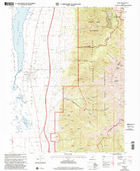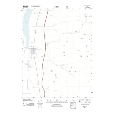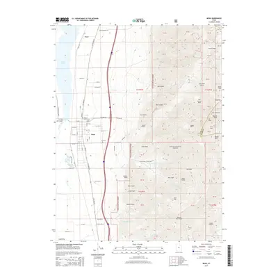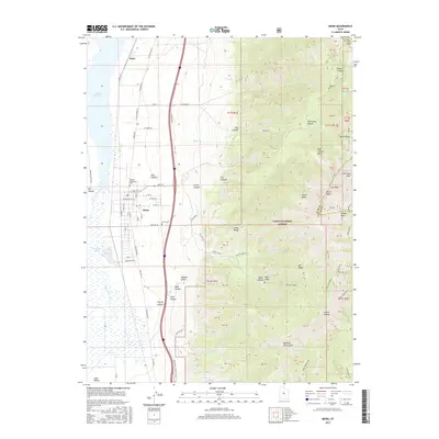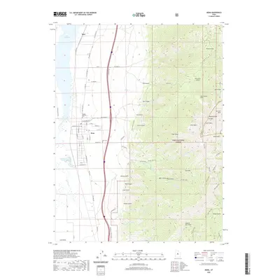
1979 Map of Mona
USGS Topo · Published 1983About this map
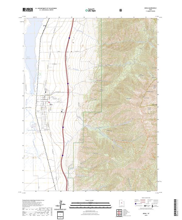
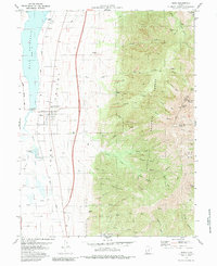
Juab Valley transitions from agricultural lowlands to the towering heights of Mount Nebo in this late 1970s survey. The town of Mona serves as the central hub, situated between the Union Pacific railroad corridor and the expansive Mona Reservoir. Local history is anchored by the Pioneer Memorial Park (Cem) and the Mona Cem, reflecting the area's deep-rooted settlement patterns. To the east, the Uinta National Forest boundary marks a shift into high-altitude terrain, where resource extraction and recreation meet.
Find a feature on this map
55 named features on this map. Tap any name to fly to it.
Don’t see what you’re looking for? This feature index may not catch every label — zoom into the map to look around manually.
Map Details
Editions of this 1979 Mona Map
This is the sole edition of this map. No revisions or reprints were ever made.
Historical Maps of Mona Through Time
7 maps found