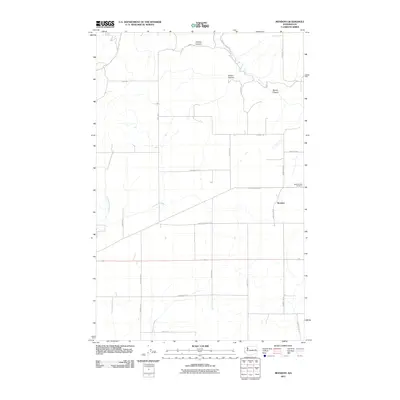
2011 Map of Mondovi
USGS Topo · Published 2011About this map
Mondovi anchors this landscape in eastern Washington, serving as a primary point of reference in a region defined by agricultural grid roads and deep drainage features. The terrain is marked by significant geological depressions including Greene Canyon, Saben Canyon, and Squaw Canyon, while Cottonwood Creek meanders through the western portion of the area. For those tracing local heritage, Pleasant View Cemetery is situated east of the main settlement near the junction of Mondovi Rd N. The road network is highly structured, with named routes like Sunset Highway Rd E and Four Corners Rd following the township and range lines typical of the Inland Empire's wheat-growing country. This survey illustrates the persistent rural character of Lincoln County in the early twenty-first century, where family names are often preserved in the local road designations such as Zeimantz Rd E and Murbach Rd E.
Find a feature on this map
24 named features on this map. Tap any name to fly to it.
Don’t see what you’re looking for? This feature index may not catch every label — zoom into the map to look around manually.
Map Details
Editions of this 2011 Mondovi Map
This is the sole edition of this map. No revisions or reprints were ever made.
Other maps of this area

1944 · Wellpinit
USGS Topo · 1:62,500

1945 · Reardan
USGS Topo · 1:62,500

1948 · Turtle Lake
USGS Topo · 1:62,500

1950 · Turtle Lake
USGS Topo · 1:62,500

1953 · Reardan
USGS Topo · 1:62,500

1953 · Wellpinit
USGS Topo · 1:62,500

1953 · Ritzville
USGS Topo · 1:250,000

1955 · Spokane
USGS Topo · 1:250,000

1958 · Spokane
USGS Topo · 1:250,000

1959 · Ritzville
USGS Topo · 1:250,000