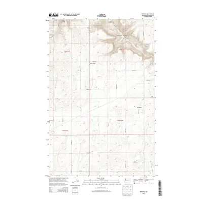
2013 Map of Mondovi
USGS Topo · Published 2013About this map
Mondovi sits along the northern reaches of the Mondovi Rd N corridor, serving as a primary point of reference in this corner of Lincoln County. The landscape is defined by the transition from open agricultural plateaus to the deeply carved ravines of the northern section. These features, including Harker Canyon, Greene Canyon, and Saben Canyon, demonstrate the significant erosion patterns typical of the region's basalt-edged topography.
Find a feature on this map
39 named features on this map. Tap any name to fly to it.
Don’t see what you’re looking for? This feature index may not catch every label — zoom into the map to look around manually.
Map Details
Editions of this 2013 Mondovi Map
This is the sole edition of this map. No revisions or reprints were ever made.
Other maps of this area

1944 · Wellpinit
USGS Topo · 1:62,500

1945 · Reardan
USGS Topo · 1:62,500

1948 · Turtle Lake
USGS Topo · 1:62,500

1950 · Turtle Lake
USGS Topo · 1:62,500

1953 · Reardan
USGS Topo · 1:62,500

1953 · Wellpinit
USGS Topo · 1:62,500

1953 · Ritzville
USGS Topo · 1:250,000

1955 · Spokane
USGS Topo · 1:250,000

1958 · Spokane
USGS Topo · 1:250,000

1959 · Ritzville
USGS Topo · 1:250,000