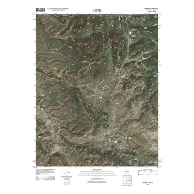
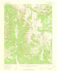
2011 Map of Monero
USGS Topo · Published 2011About this map
Monero serves as the industrial and social anchor of this high-plateau landscape, where the coal mining history of Rio Arriba County is clearly preserved. The settlement is surrounded by a dense network of extraction sites, including the Western Fuel Company Mine, Barney Quaranto Mine, and the Caranta Mines, reflecting a legacy of resource development along the southern reaches of Monero Canyon. This area exhibits a distinct pattern of land use where rugged mesas like Abeyta Mesa and Vigil Mesa are interspersed with established family holdings such as Abeyta Ranch and Gonzales Ranch.
Find a feature on this map
49 named features on this map. Tap any name to fly to it.
Don’t see what you’re looking for? This feature index may not catch every label — zoom into the map to look around manually.
Map Details
Editions of this 2011 Monero Map
This is the sole edition of this map. No revisions or reprints were ever made.
Other maps of this area
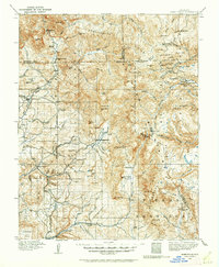
1913 · Summitville
USGS Topo · 1:125,000
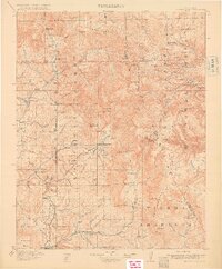
1915 · Summitville
USGS Topo · 1:125,000

1945 · Durango
USGS Topo · 1:250,000
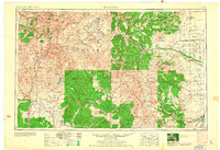
1953 · Durango
USGS Topo · 1:250,000
1954 · Durango
USGS Topo · 1:250,000

1954 · Aztec
USGS Topo · 1:250,000
1955 · Chama
USGS Topo · 1:62,500
1955 · Lumberton
USGS Topo · 1:62,500
1957 · Chromo
USGS Topo · 1:62,500
1957 · Chama Peak
USGS Topo · 1:62,500