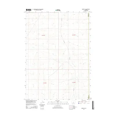
2015 Map of Moneta SE
USGS Topo · Published 2015About this map
The high desert landscape of central Wyoming is defined by its drainage systems and political boundaries in this 2015 study. The eastern boundary of the map follows the Fremont Co Natrona Co line, marking a division in the sparsely populated cattle country. Water, a critical resource in this arid environment, is represented by the winding courses of Deer Cr and Canyon Cr, which carve through the high plateaus. The topography is largely defined by the Public Land Survey System, with township and range designations such as t36n r90w and t36n r89w framing the terrain. Transport is limited to rugged pathways like Deer Creek Rd, which serves as a primary artery through the remote townships of the Casper region.
Find a feature on this map
8 named features on this map. Tap any name to fly to it.
Don’t see what you’re looking for? This feature index may not catch every label — zoom into the map to look around manually.
Map Details
Editions of this 2015 Moneta SE Map
This is the sole edition of this map. No revisions or reprints were ever made.
Other maps of this area

1952 · Seventy-one Reservoir
USGS Topo · 1:24,000

1952 · Moneta
USGS Topo · 1:24,000

1952 · Arminto SW
USGS Topo · 1:24,000

1952 · Love Ranch
USGS Topo · 1:24,000

1952 · Madden
USGS Topo · 1:24,000

1952 · Arminto NW
USGS Topo · 1:24,000

1952 · Moneta SE
USGS Topo · 1:24,000

1952 · Miles Ranch
USGS Topo · 1:24,000

1952 · Ervay Basin
USGS Topo · 1:24,000

1955 · Arminto
USGS Topo · 1:250,000