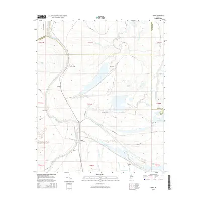
2015 Map of Money
USGS Topo · Published 2015About this map
The Tallahatchie River meanders through the heart of this Delta landscape, defining the geography of Leflore County and its border with Tallahatchie County. This 2015 survey shows a terrain dominated by oxbow lakes and complex bayous, reflecting the region's alluvial history. The settlement of Money serves as a focal point near the southern reach of the river, while smaller communities like Ruby and Sandy Ridge are distributed along the ridges and plantation roads.
Find a feature on this map
80 named features on this map. Tap any name to fly to it.
Don’t see what you’re looking for? This feature index may not catch every label — zoom into the map to look around manually.
Map Details
Editions of this 2015 Money Map
This is the sole edition of this map. No revisions or reprints were ever made.
Other maps of this area

1931 · Schlater
USGS Topo · 1:48,000

1931 · Sumner
USGS Topo · 1:48,000

1932 · Philipp
USGS Topo · 1:48,000

1934 · Schlater
USGS Topo · 1:62,500

1935 · Sumner
USGS Topo · 1:62,500

1935 · Philipp
USGS Topo · 1:62,500

1936 · Greenwood
USGS Topo · 1:62,500

1939 · Schlater
USGS Topo · 1:62,500

1939 · Sumner
USGS Topo · 1:62,500

1939 · Philipp
USGS Topo · 1:62,500