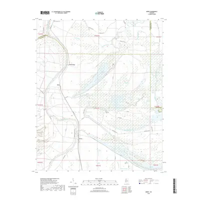
2018 Map of Money
USGS Topo · Published 2018About this map
The Tallahatchie River and Yalobusha River define the intricate hydrology of the Delta in this 2018 survey, where numerous oxbow lakes and bayous snake through the lowlands. The settlement of Money serves as a focal point along the rail line, surrounded by agricultural landscapes like Sandy Ridge and Ruby. This quadrangle is particularly rich for genealogical research, documenting several distinct burial sites including Eagle Plantation Cem, Majet Cem, Bernander Cem, and Eastmoney Cem.
Find a feature on this map
77 named features on this map. Tap any name to fly to it.
Don’t see what you’re looking for? This feature index may not catch every label — zoom into the map to look around manually.
Map Details
Editions of this 2018 Money Map
This is the sole edition of this map. No revisions or reprints were ever made.
Other maps of this area

1931 · Schlater
USGS Topo · 1:48,000

1931 · Sumner
USGS Topo · 1:48,000

1932 · Philipp
USGS Topo · 1:48,000

1934 · Schlater
USGS Topo · 1:62,500

1935 · Sumner
USGS Topo · 1:62,500

1935 · Philipp
USGS Topo · 1:62,500

1936 · Greenwood
USGS Topo · 1:62,500

1939 · Schlater
USGS Topo · 1:62,500

1939 · Sumner
USGS Topo · 1:62,500

1939 · Philipp
USGS Topo · 1:62,500