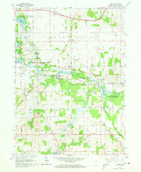
1960 Map of Mongo
USGS Topo · Published 1962About this map
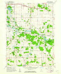
Pigeon River meanders through the heart of this Indiana landscape, anchoring a significant conservation corridor known as the Pigeon River State Game Preserve. The river's flow is managed by infrastructure like the Nasby Dam and expands into the Mongo Reservoir near the settlement of Mongo. This region is characterized by a high density of small glacial water bodies, including Cedar Lake, Duff Lake, and Meteor Lake, which define the local geography alongside the Indiana East-West Toll Road crossing the northern boundary.
Find a feature on this map
47 named features on this map. Tap any name to fly to it.
Don’t see what you’re looking for? This feature index may not catch every label — zoom into the map to look around manually.
Map Details
Editions of this 1960 Mongo Map
2 editions found
Other maps of this area

1940 · Orland
USGS Topo · 1:24,000

1941 · Orland
USGS Topo · 1:24,000

1942 · Stroh
USGS Topo · 1:24,000

1947 · Mongo
USGS Topo · 1:24,000

1947 · Lagrange
USGS Topo · 1:24,000

1947 · Wolcottville
USGS Topo · 1:24,000

1947 · Oliver Lake
USGS Topo · 1:24,000

1953 · Fort Wayne
USGS Topo · 1:250,000

1956 · Fort Wayne
USGS Topo · 1:250,000

1959 · Wolcottville
USGS Topo · 1:24,000