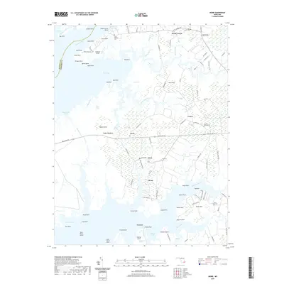
2019 Map of Monie
USGS Topo · Published 2019About this map
The low-lying wetlands of Somerset County dominate this coastal landscape, where the Wicomico River and Manokin River frame a complex network of marshes and inlets. Small settlements like Mount Vernon and Venton are situated on higher ground, connected by a road system that navigates the intricate waterways of Monie Marsh and Saint Pierre Marsh. This 2019 survey illustrates the persistent rural character of the Eastern Shore, where community life centers around historic congregations such as Asbury Methodist Cem and All Saints Methodist Cem. Along the shorelines of Monie Bay and Ellis Bay, numerous named points and necks like Victor Neck and Monie Neck reveal the geographic nomenclature of a region deeply tied to its estuarine environment. The map details a transition from inland agricultural tracts to tidal flats, punctuated by the small hubs of Oriole and Champ.
Find a feature on this map
121 named features on this map. Tap any name to fly to it.
Don’t see what you’re looking for? This feature index may not catch every label — zoom into the map to look around manually.
Map Details
Editions of this 2019 Monie Map
This is the sole edition of this map. No revisions or reprints were ever made.
Other maps of this area

1901 · Salisbury
USGS Topo · 1:62,500

1903 · Nanticoke
USGS Topo · 1:62,500

1903 · Deal Island
USGS Topo · 1:62,500

1942 · Terrapin Sand Point
USGS Topo · 1:24,000

1942 · Marion
USGS Topo · 1:24,000

1942 · Deal Island
USGS Topo · 1:24,000

1942 · Monie
USGS Topo · 1:24,000

1942 · Wetipquin
USGS Topo · 1:24,000

1942 · Kingston
USGS Topo · 1:24,000

1942 · Princess Anne
USGS Topo · 1:24,000