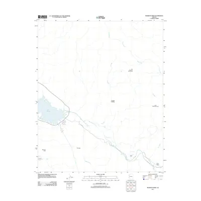
2011 Map of Monkeys Head
USGS Topo · Published 2011About this map
Bill Williams River defines the lower drainage of this landscape as it flows toward the eastern reaches of Lake Havasu. In the early 21st century, this area of the Arizona desert shows a sparse but distinct pattern of ranching and remote outposts, centered around sites like Larneds Landing and Kohen Ranch. The terrain is characterized by deep ephemeral drainages, including Paloma Wash and Fox Wash, which cut through the high ground of The Mesa and the Bill Williams Mountains. Significant landmarks such as Monkeys Head and Little Black Mountain provide fixed points in the arid expanse. Human movement through the region is funneled along the Planet Ranch Rd and Bill Williams Hwy, connecting isolated features like the Ramon Esquerra Ranch to the river corridor. This map documents a desert environment where water sources like Havasu Spring and Goat Spring remain vital to the local geography.
Find a feature on this map
19 named features on this map. Tap any name to fly to it.
Don’t see what you’re looking for? This feature index may not catch every label — zoom into the map to look around manually.
Map Details
Editions of this 2011 Monkeys Head Map
This is the sole edition of this map. No revisions or reprints were ever made.
Other maps of this area

1911 · Parker
USGS Topo · 1:125,000

1923 · Signal
USGS Topo · 1:250,000

1942 · Signal
USGS Topo · 1:250,000

1943 · Giers Basin
USGS Topo · 1:62,500

1950 · Parker Dam Area
USGS Topo · 1:62,500

1950 · Prescott
USGS Topo · 1:250,000

1954 · Needles
USGS Topo · 1:250,000

1954 · Prescott
USGS Topo · 1:250,000

1956 · Needles
USGS Topo · 1:250,000

1958 · Prescott
USGS Topo · 1:250,000