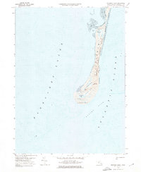
1974 Map of Monomoy Point
USGS Topo · Published 1976About this map
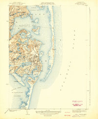
Monomoy stands as a dynamic coastal barrier where the waters of Nantucket Sound meet the open Atlantic Ocean. This 1974 survey captures the shifting sands and delicate ecology of the Monomoy National Wildlife Refuge during a period of significant coastal transformation. The landscape is dominated by expansive tidal flats and barrier dunes that protect interior freshwater features like Big Station Pond and Hospital Pond. Evidence of former human presence remains visible in the south, most notably the Lighthouse (Abandoned) standing near Monomoy Point. The map provides a detailed study of the area's hydrology, from the Sallis Drain in the north to the treacherous Butler Hole currents off the southern tip, revealing how the sea continuously reshapes these marshes and inlets.
Find a feature on this map
21 named features on this map. Tap any name to fly to it.
Don’t see what you’re looking for? This feature index may not catch every label — zoom into the map to look around manually.
Map Details
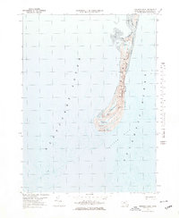
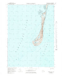
Editions of this 1974 Monomoy Point Map
3 editions found
Other maps of this area

1887 · Yarmouth
USGS Topo · 1:62,500

1888 · Chatham
USGS Topo · 1:62,500

1889 · Yarmouth
USGS Topo · 1:62,500

1893 · Chatham
USGS Topo · 1:62,500

1893 · Yarmouth
USGS Topo · 1:62,500

1917 · Chatham
USGS Topo · 1:62,500

1942 · Cape Cod Bay
USGS Topo · 1:125,000
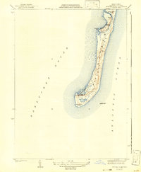
1942 · Monomoy Point
USGS Topo · 1:31,680
1942 · Chatham
USGS Topo · 1:31,680

1942 · Nauset
USGS Topo · 1:125,000