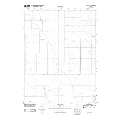
2010 Map of Monon NE
USGS Topo · Published 2010About this map
Big Monon Ditch and its intricate network of irrigation channels define the agricultural character of this White County landscape. The region is heavily managed for drainage, featuring numerous named waterways such as Hubbell Ditch, Beaver Ditch, and Weltzin DITCH that feed into the larger Big Monon Creek. This systematic engineering of the terrain supports a vast grid of rural roads, where local life centers around sites like Roseland Cemetery in the north and the aviation activity at Calvert Air Park.
Find a feature on this map
52 named features on this map. Tap any name to fly to it.
Don’t see what you’re looking for? This feature index may not catch every label — zoom into the map to look around manually.
Map Details
Editions of this 2010 Monon NE Map
This is the sole edition of this map. No revisions or reprints were ever made.
Other maps of this area

1953 · Chicago
USGS Topo · 1:250,000

1953 · Danville
USGS Topo · 1:250,000

1955 · Danville
USGS Topo · 1:250,000

1956 · Danville
USGS Topo · 1:250,000

1957 · Chicago
USGS Topo · 1:250,000

1962 · Buffalo
USGS Topo · 1:24,000

1962 · Monon NE
USGS Topo · 1:24,000

1962 · Monon
USGS Topo · 1:24,000

1962 · Monticello North
USGS Topo · 1:24,000

1962 · Medaryville
USGS Topo · 1:24,000