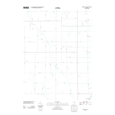
2013 Map of Monon NE
USGS Topo · Published 2013About this map
Tippecanoe River clips the southeastern corner of this region in White County, marking a distinct change in the landscape from the surrounding agricultural grid. The area is defined by an intricate network of managed waterways, where the Big Monon Cr and the extensive Big Monon Ditch serve as the primary conduits for drainage across the flat Indiana plains. This system of channels, including Harp Ditch, Weltzin Ditch, and Hubbell Ditch, illustrates the intensive engineering required to maintain the productivity of these prairie lands. The layout reveals a meticulously planned section-line road system, such as Co RD-1350 and W 700 S, which partitions the territory into a steady rhythm of family farms. Near the southern edge, Carlson Ditch and Hill Ditch further emphasize the hydrological management that has shaped the local rural economy into the 21st century.
Find a feature on this map
52 named features on this map. Tap any name to fly to it.
Don’t see what you’re looking for? This feature index may not catch every label — zoom into the map to look around manually.
Map Details
Editions of this 2013 Monon NE Map
This is the sole edition of this map. No revisions or reprints were ever made.
Other maps of this area

1953 · Chicago
USGS Topo · 1:250,000

1953 · Danville
USGS Topo · 1:250,000

1955 · Danville
USGS Topo · 1:250,000

1956 · Danville
USGS Topo · 1:250,000

1957 · Chicago
USGS Topo · 1:250,000

1962 · Buffalo
USGS Topo · 1:24,000

1962 · Monon NE
USGS Topo · 1:24,000

1962 · Monon
USGS Topo · 1:24,000

1962 · Monticello North
USGS Topo · 1:24,000

1962 · Medaryville
USGS Topo · 1:24,000