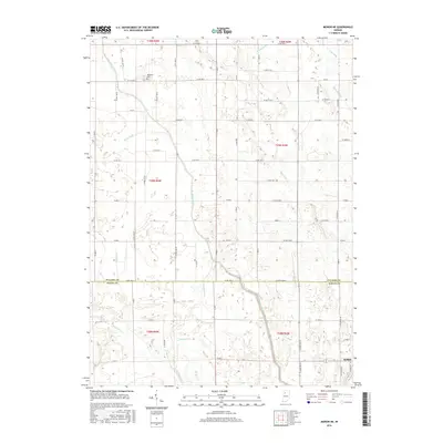
2016 Map of Monon NE
USGS Topo · Published 2016About this map
Buffalo sits in the southeast corner of this township study, marking a point of concentrated settlement amidst a landscape defined by an intricate network of water management. The terrain across the Pulaski Co and White Co line is etched with a systematic grid of drainage features, where the natural course of Big Monon Cr is supplemented by engineered channels like Big Monon Ditch, Beaver Ditch, and Carlson Ditch. This pattern of reclamation illustrates the agricultural evolution of the region, transforming low-lying areas into productive acreage.
Find a feature on this map
65 named features on this map. Tap any name to fly to it.
Don’t see what you’re looking for? This feature index may not catch every label — zoom into the map to look around manually.
Map Details
Editions of this 2016 Monon NE Map
This is the sole edition of this map. No revisions or reprints were ever made.
Other maps of this area

1953 · Chicago
USGS Topo · 1:250,000

1953 · Danville
USGS Topo · 1:250,000

1955 · Danville
USGS Topo · 1:250,000

1956 · Danville
USGS Topo · 1:250,000

1957 · Chicago
USGS Topo · 1:250,000

1962 · Buffalo
USGS Topo · 1:24,000

1962 · Monon NE
USGS Topo · 1:24,000

1962 · Monon
USGS Topo · 1:24,000

1962 · Monticello North
USGS Topo · 1:24,000

1962 · Medaryville
USGS Topo · 1:24,000