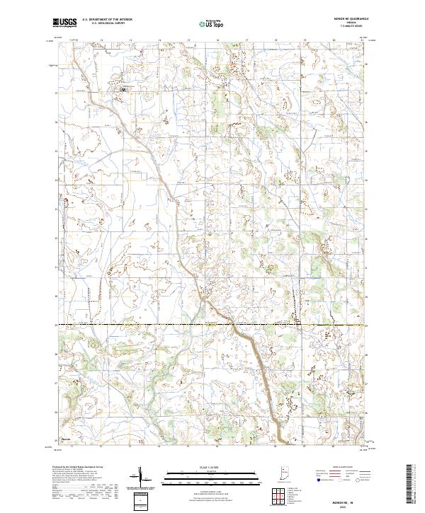
2022 Map of Monon NE
USGS Topo · Published 2022About this map
Big Monon Ditch and its many tributaries, including Harp Ditch and Beaver-Ditch, define the agricultural hydrology of this landscape along the border of Pulaski and White Counties. This 2022 survey reveals a complex network of artificial drainage essential to the regional farming economy, with numerous named waterways like Stout Ditch and Weltzin Ditch feeding into the larger system of Big Monon Cr.
Find a feature on this map
46 named features on this map. Tap any name to fly to it.
Don’t see what you’re looking for? This feature index may not catch every label — zoom into the map to look around manually.
Map Details
Editions of this 2022 Monon NE Map
This is the sole edition of this map. No revisions or reprints were ever made.
Other maps of this area

1953 · Chicago
USGS Topo · 1:250,000

1953 · Danville
USGS Topo · 1:250,000

1955 · Danville
USGS Topo · 1:250,000

1956 · Danville
USGS Topo · 1:250,000

1957 · Chicago
USGS Topo · 1:250,000

1962 · Buffalo
USGS Topo · 1:24,000

1962 · Monon NE
USGS Topo · 1:24,000

1962 · Monon
USGS Topo · 1:24,000

1962 · Monticello North
USGS Topo · 1:24,000

1962 · Medaryville
USGS Topo · 1:24,000