
Loading...
Loading map...2021 Map of Monowi
USGS Topo · Published 2021About this map
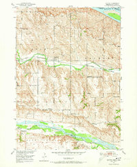
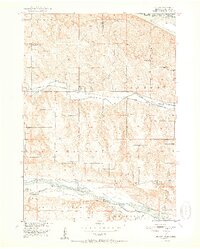
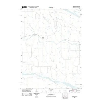
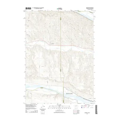
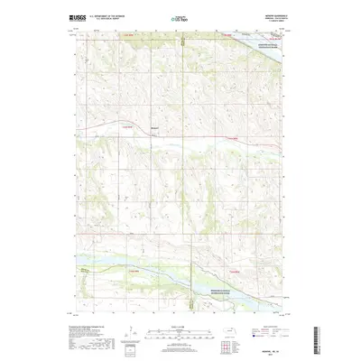
Monowi is the central settlement in this portion of Boyd County, positioned between the waters of Ponca Creek to the north and the Niobrara River to the south. The landscape is defined by the intersection of three major protected waterways: the Missouri National Recreation River, the Missouri Wild and Scenic River, and the Niobrara Wild and Scenic River. These rivers create a complex system of bluffs and drainage basins, including tributaries like Red Otter Cr and Steel Cr.
Find a feature on this map
32 named features on this map. Tap any name to fly to it.
Don’t see what you’re looking for? This feature index may not catch every label — zoom into the map to look around manually.
Map Details
Date Portrayed2021
Date Published2021
PublisherU.S. Geological Survey
Map TypeTopographic
Scale1:24,000
Physical Dimensions24 x 29 inches
Editions of this 2021 Monowi Map
This is the sole edition of this map. No revisions or reprints were ever made.
Historical Maps of Monowi Through Time
6 maps found
Featured Locations
Source Details
SourceU.S. Geological Survey
CopyrightPublic Domain