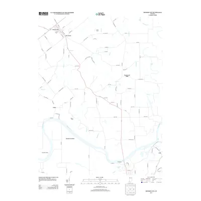
2013 Map of Monroe City
USGS Topo · Published 2013About this map
Monroe City and its grid of residential streets like Grant St and Buchanan St anchor the northern landscape of this Indiana survey. To the south, the White River carves a dramatic path through the terrain, featuring the pronounced curve of Sevenmile Bend and the riverside settlement at Bartons Location. The area is characterized by a mix of agricultural plots and small communities connected by rural routes such as Lucky Point Rd and S Petersburg Rd.
Find a feature on this map
93 named features on this map. Tap any name to fly to it.
Don’t see what you’re looking for? This feature index may not catch every label — zoom into the map to look around manually.
Map Details
Editions of this 2013 Monroe City Map
This is the sole edition of this map. No revisions or reprints were ever made.
Other maps of this area

1902 · Ditney
USGS Topo · 1:125,000

1903 · Velpen
USGS Topo · 1:62,500

1903 · Petersburg
USGS Topo · 1:62,500

1942 · Fritchton
USGS Topo · 1:24,000

1944 · Fritchton
USGS Topo · 1:24,000

1944 · Washington
USGS Topo · 1:24,000

1944 · Monroe City
USGS Topo · 1:24,000

1944 · Wheatland
USGS Topo · 1:24,000

1944 · Iona
USGS Topo · 1:24,000

1945 · Sandy Hook
USGS Topo · 1:24,000