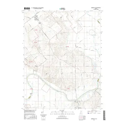
2016 Map of Monroe City
USGS Topo · Published 2016About this map
The White River winds through the southwestern corner of this Indiana landscape, defining the physical and political boundary where Knox and Pike counties meet at Sevenmile Bend. This portion of the Wabash Valley features a transition from the elevated Beech Hills and The Bluffs to the low-lying drainage basins of Pond Creek and Wilson Creek. Local transport centers on the intersection at Five Points near Monroe City, while the southern edge of the map shows the northern outskirts of Petersburg, the Pike County seat.
Find a feature on this map
108 named features on this map. Tap any name to fly to it.
Don’t see what you’re looking for? This feature index may not catch every label — zoom into the map to look around manually.
Map Details
Editions of this 2016 Monroe City Map
This is the sole edition of this map. No revisions or reprints were ever made.
Other maps of this area

1902 · Ditney
USGS Topo · 1:125,000

1903 · Velpen
USGS Topo · 1:62,500

1903 · Petersburg
USGS Topo · 1:62,500

1942 · Fritchton
USGS Topo · 1:24,000

1944 · Fritchton
USGS Topo · 1:24,000

1944 · Washington
USGS Topo · 1:24,000

1944 · Monroe City
USGS Topo · 1:24,000

1944 · Wheatland
USGS Topo · 1:24,000

1944 · Iona
USGS Topo · 1:24,000

1945 · Sandy Hook
USGS Topo · 1:24,000