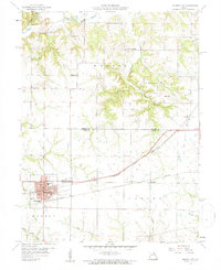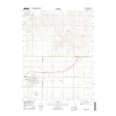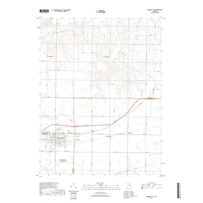
2021 Map of Monroe City
USGS Topo · Published 2021About this map
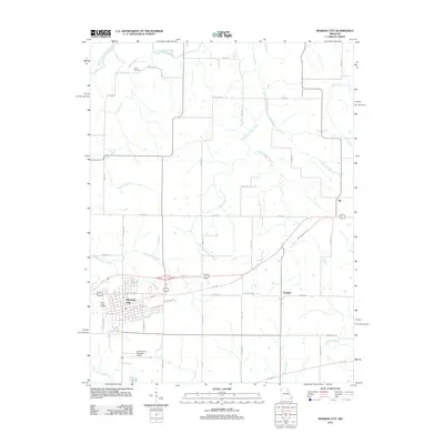
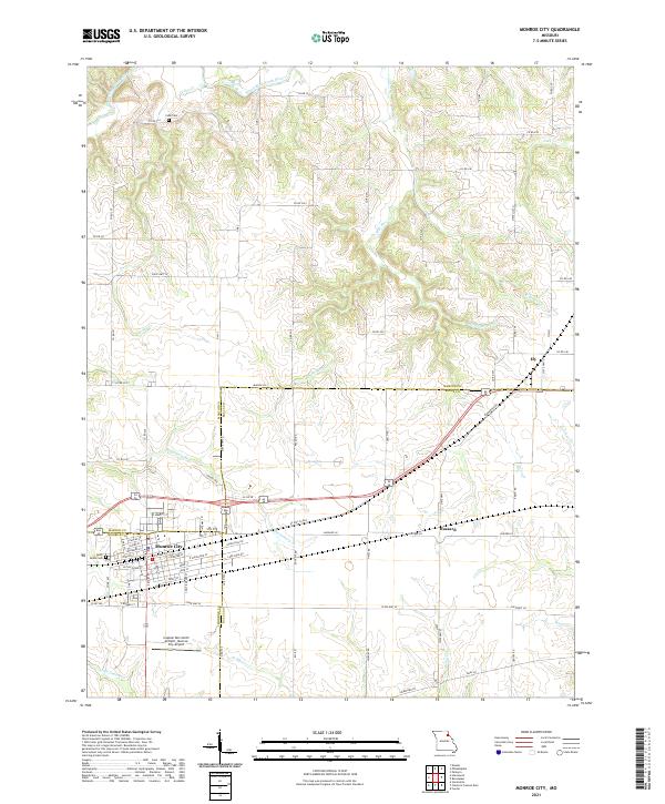
Monroe City sits at the tri-county junction of Monroe, Marion, and Ralls, serving as a significant regional hub defined by a rigorous grid of residential streets like Catherine St and E Dover St. The landscape to the north and east is carved by an intricate drainage system including the South Fork North River and the various branches of Middle Br Sees Cr, creating a complex topography of ridges and valleys. Evidence of long-standing local heritage is found at Saint Judes Cem and the isolated Cobb Cem to the north. Transportation corridors such as US Hwy 36 Bus and the aviation facilities at Captain Ben Smith Airfield - Monroe City Airport link the small outlying settlements of Ely and Hassard to the larger city center. This survey illustrates the persistence of small Missouri communities and their agricultural surroundings through the early twenty-first century.
Find a feature on this map
65 named features on this map. Tap any name to fly to it.
Don’t see what you’re looking for? This feature index may not catch every label — zoom into the map to look around manually.
Map Details
Editions of this 2021 Monroe City Map
This is the sole edition of this map. No revisions or reprints were ever made.
Historical Maps of Monroe City Through Time
5 maps found