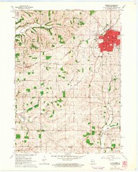
1962 Map of Monroe
USGS Topo · Published 1964About this map
The city of Monroe serves as a bustling regional hub in the early 1960s, defined by its intersecting railroads including the Chicago Milwaukee St Paul and Pacific and the Illinois Central. The urban grid is dense with civic infrastructure, from the central Courthouse and Post Office to educational institutions like the Teachers College and Junior High School. Notable local landmarks include the Fairground and the Drive-in Theater on the city's outskirts, illustrating the mid-century social landscape of Green County.
Find a feature on this map
50 named features on this map. Tap any name to fly to it.
Don’t see what you’re looking for? This feature index may not catch every label — zoom into the map to look around manually.
Map Details
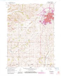
Editions of this 1962 Monroe Map
2 editions found
Other maps of this area

1920 · Monroe
USGS Topo · 1:62,500

1922 · Monroe
USGS Topo · 1:62,500

1923 · South Wayne
USGS Topo · 1:62,500

1937 · Lena
USGS Topo · 1:48,000

1939 · Freeport
USGS Topo · 1:48,000

1942 · Lena
USGS Topo · 1:62,500

1943 · Lena
USGS Topo · 1:62,500

1944 · Freeport
USGS Topo · 1:62,500

1954 · Rockford
USGS Topo · 1:250,000

1955 · Rockford
USGS Topo · 1:250,000