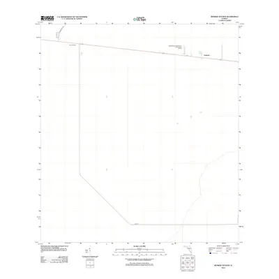
2012 Map of Monroe Station
USGS Topo · Published 2012About this map
Monroe Station and the small outpost of Trailtown anchor this 2012 survey of the Big Cypress landscape in southern Florida. The map illustrates a sparse, specialized network of infrastructure defined by long, straight transportation corridors and government facilities. Along the primary east-west route, the Oasis Ranger Station-U.S. Government Airport serves as a critical operational hub for the region. To the south, the curving path of Loop Rd breaks the geometric regularity of the northern grid, while Monument Rd extends toward the northern boundary. The minimal development shown here reflects the preservation and management priorities of the early 21st century, where human presence is largely limited to specific stations and the roads that connect them across the wetlands.
Find a feature on this map
5 named features on this map. Tap any name to fly to it.
Don’t see what you’re looking for? This feature index may not catch every label — zoom into the map to look around manually.
Map Details
Editions of this 2012 Monroe Station Map
This is the sole edition of this map. No revisions or reprints were ever made.
Other maps of this area

1956 · Miami
USGS Topo · 1:250,000

1958 · Miami
USGS Topo · 1:250,000

1972 · Monroe Station NE
USGS Topo · 1:24,000

1972 · Lostmans Trail
USGS Topo · 1:24,000

1972 · Big Boy Lake
USGS Topo · 1:24,000

1972 · Burns Lake
USGS Topo · 1:24,000

1973 · Gator Hook Swamp
USGS Topo · 1:24,000

1973 · Fiftymile Bend
USGS Topo · 1:24,000

1973 · North Of Fiftymile Bend
USGS Topo · 1:24,000

1973 · Monroe Station
USGS Topo · 1:24,000