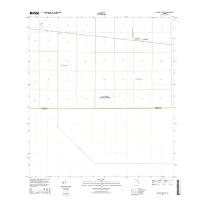
2015 Map of Monroe Station
USGS Topo · Published 2015About this map
Big Cypress National Preserve dominates this portion of the Florida landscape, providing a clear look at the region's unique geography where Collier and Monroe counties meet. The infrastructure is centered primarily along the east-west corridor of the Tamiami Canal Number C-4, which runs parallel to the highway system connecting the small settlements of Monroe Station and Trailtown. These locations represent vital outposts in the expansive wetlands, serving as markers of human presence in a largely undeveloped environment.
Find a feature on this map
10 named features on this map. Tap any name to fly to it.
Don’t see what you’re looking for? This feature index may not catch every label — zoom into the map to look around manually.
Map Details
Editions of this 2015 Monroe Station Map
This is the sole edition of this map. No revisions or reprints were ever made.
Other maps of this area

1956 · Miami
USGS Topo · 1:250,000

1958 · Miami
USGS Topo · 1:250,000

1972 · Monroe Station NE
USGS Topo · 1:24,000

1972 · Lostmans Trail
USGS Topo · 1:24,000

1972 · Big Boy Lake
USGS Topo · 1:24,000

1972 · Burns Lake
USGS Topo · 1:24,000

1973 · Gator Hook Swamp
USGS Topo · 1:24,000

1973 · Fiftymile Bend
USGS Topo · 1:24,000

1973 · North Of Fiftymile Bend
USGS Topo · 1:24,000

1973 · Monroe Station
USGS Topo · 1:24,000