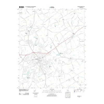
2011 Map of Monroe
USGS Topo · Published 2011About this map
Monroe sits at the heart of this Walton County landscape, serving as a central hub for the surrounding settlements of Walker Park, Mount Vernon, and Pannell. The area is defined by a series of engineered water bodies and creek systems, including Bucaneer Lake, Mitchell Lake, and Waller Lake, which reflect the region's managed water resources. To the east, the elevation rises toward Jacks Creek Mountain, while the suburban and rural fringes are marked by numerous family and community burial grounds such as Westlawn Memorial Cemetery, Rest Haven Cemetery, and Walker Cemetery. This 2011 documentation of the region captures the transition between the urban core of the city and the aviation-focused outskirts near the Monroe-Walton County Airport and Aerie Airport, showing how the modern road network has integrated historic land plots with new infrastructure.
Find a feature on this map
120 named features on this map. Tap any name to fly to it.
Don’t see what you’re looking for? This feature index may not catch every label — zoom into the map to look around manually.
Map Details
Editions of this 2011 Monroe Map
This is the sole edition of this map. No revisions or reprints were ever made.
Other maps of this area

1896 · Monroe
USGS Topo · 1:125,000

1953 · Athens
USGS Topo · 1:250,000

1958 · Athens
USGS Topo · 1:250,000

1959 · Athens
USGS Topo · 1:250,000

1963 · Athens
USGS Topo · 1:250,000

1964 · Bold Springs
USGS Topo · 1:24,000

1964 · Between
USGS Topo · 1:24,000

1964 · High Shoals
USGS Topo · 1:24,000

1964 · Monroe
USGS Topo · 1:24,000

1964 · Winder South
USGS Topo · 1:24,000