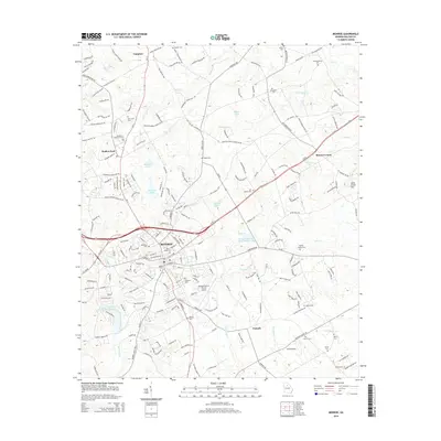
2014 Map of Monroe
USGS Topo · Published 2014About this map
The city of Monroe serves as the central hub of this Walton County landscape, where the intersection of Us-78 and Ga-11 anchors a network of growing residential developments and light industrial facilities. The map illustrates the suburban expansion around the historic core, with neighborhoods like Walker Park and Campton radiating outward. Aviation infrastructure is a notable component of the local economy, evidenced by both the Monroe-Walton County Airport and the smaller Aerie Airport to the southeast.
Find a feature on this map
202 named features on this map. Tap any name to fly to it.
Don’t see what you’re looking for? This feature index may not catch every label — zoom into the map to look around manually.
Map Details
Editions of this 2014 Monroe Map
This is the sole edition of this map. No revisions or reprints were ever made.
Other maps of this area

1896 · Monroe
USGS Topo · 1:125,000

1953 · Athens
USGS Topo · 1:250,000

1958 · Athens
USGS Topo · 1:250,000

1959 · Athens
USGS Topo · 1:250,000

1963 · Athens
USGS Topo · 1:250,000

1964 · Bold Springs
USGS Topo · 1:24,000

1964 · Between
USGS Topo · 1:24,000

1964 · High Shoals
USGS Topo · 1:24,000

1964 · Monroe
USGS Topo · 1:24,000

1964 · Winder South
USGS Topo · 1:24,000