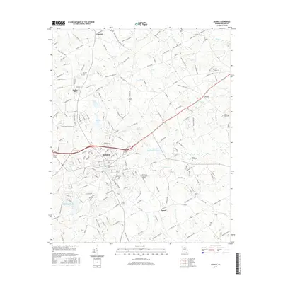
2017 Map of Monroe
USGS Topo · Published 2017About this map
The city of Monroe serves as the central hub of this Walton County landscape, where urban expansion meets the headwaters of numerous Piedmont streams. The town's historic core is flanked by significant local landmarks such as Rest Haven Cemetery and Eastview Cem, while its modern growth is anchored by the Monroe- Walton County Airport to the southeast. Outside the city limits, the terrain transitions into a patchwork of rural communities and family-named cemeteries that reflect generations of local settlement, including Old Breedlove Cem near Shoal Cr and the Mountain Creek Cem in the northwest corner. To the east, the landscape is defined by Jacks Cr and the solitary elevation of Jacks Creek Mtn, which stands out against a backdrop of smaller water bodies like Gunther Lake and Aycock Lake. Smaller outlying settlements such as Campton, Walker Park, and Pannell are connected by a network of regional roads that trace the undulating topography of the region.
Find a feature on this map
202 named features on this map. Tap any name to fly to it.
Don’t see what you’re looking for? This feature index may not catch every label — zoom into the map to look around manually.
Map Details
Editions of this 2017 Monroe Map
This is the sole edition of this map. No revisions or reprints were ever made.
Other maps of this area

1896 · Monroe
USGS Topo · 1:125,000

1953 · Athens
USGS Topo · 1:250,000

1958 · Athens
USGS Topo · 1:250,000

1959 · Athens
USGS Topo · 1:250,000

1963 · Athens
USGS Topo · 1:250,000

1964 · Bold Springs
USGS Topo · 1:24,000

1964 · Between
USGS Topo · 1:24,000

1964 · High Shoals
USGS Topo · 1:24,000

1964 · Monroe
USGS Topo · 1:24,000

1964 · Winder South
USGS Topo · 1:24,000