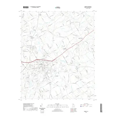
2020 Map of Monroe
USGS Topo · Published 2020About this map
Monroe serves as the central hub of this Walton County landscape, where the Walton County Government Building and the Monroe-Walton County Airport anchor the local infrastructure. The surrounding area is a patchwork of small communities like Campton, Walker Park, and Pannell, connected by a network of rural roads such as Shal Creek Rd and Nicholsville Rd NW. The terrain is defined by a dense concentration of family and community burial grounds, including the Old Breedlove Cem, Everett Family Cem, and Shoal Creek Cem, providing significant geographic markers for genealogical research.
Find a feature on this map
240 named features on this map. Tap any name to fly to it.
Don’t see what you’re looking for? This feature index may not catch every label — zoom into the map to look around manually.
Map Details
Editions of this 2020 Monroe Map
This is the sole edition of this map. No revisions or reprints were ever made.
Other maps of this area

1896 · Monroe
USGS Topo · 1:125,000

1953 · Athens
USGS Topo · 1:250,000

1958 · Athens
USGS Topo · 1:250,000

1959 · Athens
USGS Topo · 1:250,000

1963 · Athens
USGS Topo · 1:250,000

1964 · Bold Springs
USGS Topo · 1:24,000

1964 · Between
USGS Topo · 1:24,000

1964 · High Shoals
USGS Topo · 1:24,000

1964 · Monroe
USGS Topo · 1:24,000

1964 · Winder South
USGS Topo · 1:24,000