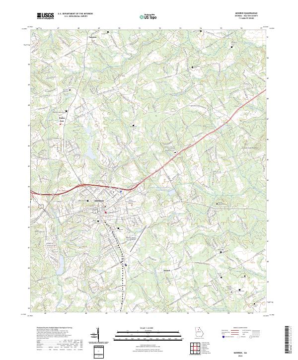
2024 Map of Monroe
USGS Topo · Published 2024About this map
Monroe serves as the central hub of this modern Walton County landscape, where civil infrastructure and aviation meet established residential patterns. The area is defined by its numerous family and community burial grounds, including Rest Haven Cem, Memorial Cem, and the Everett Family Cem, which offer significant data points for genealogists tracking local lineages. To the north and east, the terrain transitions into the Piedmont uplands, marked by Jacks Creek Mountain and a network of waterways like Shoal Creek and Hard Labor Creek.
Find a feature on this map
240 named features on this map. Tap any name to fly to it.
Don’t see what you’re looking for? This feature index may not catch every label — zoom into the map to look around manually.
Map Details
Editions of this 2024 Monroe Map
This is the sole edition of this map. No revisions or reprints were ever made.
Other maps of this area

1896 · Monroe
USGS Topo · 1:125,000

1953 · Athens
USGS Topo · 1:250,000

1958 · Athens
USGS Topo · 1:250,000

1959 · Athens
USGS Topo · 1:250,000

1963 · Athens
USGS Topo · 1:250,000

1964 · Bold Springs
USGS Topo · 1:24,000

1964 · Between
USGS Topo · 1:24,000

1964 · High Shoals
USGS Topo · 1:24,000

1964 · Monroe
USGS Topo · 1:24,000

1964 · Winder South
USGS Topo · 1:24,000