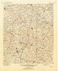
1896 Map of Monroe
USGS Topo · Published 1951About this map
Monroe and Lawrenceville serve as central nodes in this late nineteenth-century portrait of North-Central Georgia, where the transition from river-based transport to rail is clearly visible. The landscape is defined by the Alcovy River and the Yellow River, punctuated by numerous river crossings like Strouds Bridge and Browns Bridge. These watercourses provided the power for the region's industry, seen in the frequent shoals such as Bramblett Shoals and Indian Shoals.
Find a feature on this map
127 named features on this map. Tap any name to fly to it.
Don’t see what you’re looking for? This feature index may not catch every label — zoom into the map to look around manually.
Map Details
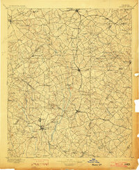
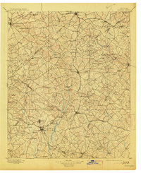
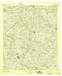
Editions of this 1896 Monroe Map
5 editions found
Other maps of this area

1888 · Atlanta
USGS Topo · 1:125,000

1890 · Suwanee
USGS Topo · 1:125,000

1890 · Atlanta
USGS Topo · 1:125,000

1891 · Gainesville
USGS Topo · 1:125,000

1891 · Carnesville
USGS Topo · 1:125,000

1892 · Atlanta
USGS Topo · 1:125,000

1894 · Suwanee
USGS Topo · 1:125,000

1895 · Atlanta
USGS Topo · 1:125,000

1896 · Monroe
USGS Topo · 1:125,000

1953 · Atlanta
USGS Topo · 1:250,000