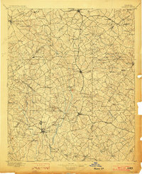
1896 Map of Monroe
USGS Topo · Published 1903About this map
Monroe serves as the central hub of this turn-of-the-century Georgia landscape, where the Georgia R. R. and Seaboard Line facilitate transport across a region defined by its numerous river crossings. The terrain is shaped by the Alcovy River and Apalachee River, with early infrastructure highlighted by landmarks like Bells Bridge and Strouds Bridge. For genealogists and local historians, the presence of Salem Camp Ground and Carithers Store offers a look at the social and commercial centers that anchored these rural communities.
Find a feature on this map
153 named features on this map. Tap any name to fly to it.
Don’t see what you’re looking for? This feature index may not catch every label — zoom into the map to look around manually.
Map Details
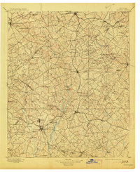
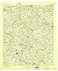
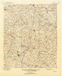
Editions of this 1896 Monroe Map
5 editions found
Other maps of this area

1888 · Atlanta
USGS Topo · 1:125,000

1890 · Suwanee
USGS Topo · 1:125,000

1890 · Atlanta
USGS Topo · 1:125,000

1891 · Gainesville
USGS Topo · 1:125,000

1891 · Carnesville
USGS Topo · 1:125,000

1892 · Atlanta
USGS Topo · 1:125,000

1894 · Suwanee
USGS Topo · 1:125,000

1895 · Atlanta
USGS Topo · 1:125,000

1896 · Monroe
USGS Topo · 1:125,000

1953 · Atlanta
USGS Topo · 1:250,000