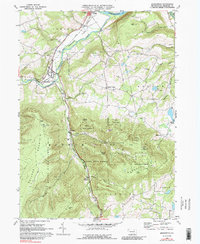
1969 Map of Monroeton
USGS Topo · Published 1988About this map
The Lehigh Valley railroad corridor defines the western edge of this Bradford County landscape, following the course of Towanda Creek through the valley floor. Settlement is concentrated around the junction at Monroeton, where the waterway meets the South Branch Towanda Creek amidst the fertile Towanda Flats. To the east, the terrain rises sharply into the plateau, home to the quiet hilltop community of Liberty Corners and the Uhdey Ch.
Find a feature on this map
46 named features on this map. Tap any name to fly to it.
Don’t see what you’re looking for? This feature index may not catch every label — zoom into the map to look around manually.
Map Details
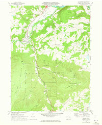
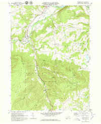
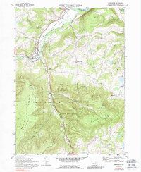
Editions of this 1969 Monroeton Map
4 editions found
Other maps of this area

1923 · Towanda
USGS Topo · 1:62,500

1926 · Towanda
USGS Topo · 1:62,500

1939 · Sayre
USGS Topo · 1:62,500

1942 · Sayre
USGS Topo · 1:62,500

1943 · Towanda
USGS Topo · 1:62,500

1943 · Monroeton
USGS Topo · 1:62,500

1943 · Powell
USGS Topo · 1:62,500

1945 · Powell
USGS Topo · 1:62,500

1948 · Sayre
USGS Topo · 1:62,500

1954 · Williamsport
USGS Topo · 1:250,000
Featured Places
- Wysox Township, PA
- Asylum Township, PA
- Albany Township, PA
- Kellogg, Monroe Township
- Uhdey, Asylum Township