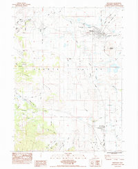
1984 Map of Montague
USGS Topo · Published 1984About this map
Montague and Grenada anchor this mid-1980s landscape in the Shasta Valley, where the confluence of rail lines and water management shaped the local economy. The Southern Pacific and Western Pacific rail lines traverse the valley floor, connecting these small hubs to the broader Northern California corridor. The Shasta River meanders through the central terrain, flanked by significant landmarks such as Butcher Hill and the prominent Kilgore Hills to the west.
Find a feature on this map
29 named features on this map. Tap any name to fly to it.
Don’t see what you’re looking for? This feature index may not catch every label — zoom into the map to look around manually.
Map Details
Editions of this 1984 Montague Map
2 editions found
Other maps of this area

1886 · Shasta
USGS Topo · 1:250,000

1894 · Shasta
USGS Topo · 1:250,000

1921 · Shasta Valley Sheet No 6
USGS Topo · 1:24,000

1921 · Shasta Valley Sheet No 2
USGS Topo · 1:24,000

1922 · Shasta Valley Sheet No 4
USGS Topo · 1:24,000

1922 · Shasta Valley Sheet No 3
USGS Topo · 1:24,000

1922 · Shasta Valley Sheet No 3 S
USGS Topo · 1:24,000

1922 · Shasta Valley Sheet No 5
USGS Topo · 1:24,000

1932 · Yreka
USGS Topo · 1:96,000

1934 · Macdoel
USGS Topo · 1:96,000